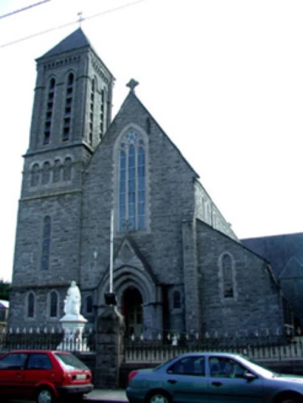
PlaceSaint Patrick's Catholic Church
80 m SSW
National Inventory of Architectural Heritage · NIAH survey · © Department of Housing, Local Government and Heritage. Reproduced for educational use with credit.
Esta página aún no está traducida al español. Se muestra en inglés.
Leer en inglés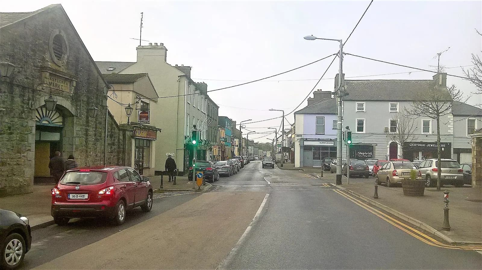
2,348 people at the 2022 census. A market town on the Suck, an hour from the Atlantic and three from Dublin, that most people pass through on the way to somewhere else.
Darren J. Prior · 2018 · CC BY-SA 4.0 · Wikimedia Commons
130recordedmonumentsringthistown.Notoneofthemhasalinewrittenforavisitor.
Archaeological Survey of Ireland, National Monuments Service.
Read 2026-08-02 · CC BY 4.0 · 8 in State guardianship.
Testimony, 1938 · not a record
In former years there was a very extensive distillery in the town. The distillery had an output of 25,000 gallons of whiskey annually. Besides this there were two corn mills and tobacco was also manufactured in the town.
Written down by Michael Cassidy, Hanly Memorial, Castlerea, for the Irish Folklore Commission.
The Schools' Collection, Volume 0247, Page 001 © National Folklore Collection, UCD · CC BY-NC 4.0
Testimony, 1938 · not a record
In Patrick St Castlerea in the present house of Mr Newman there is an anvil. In the yard of this house there were two monks who one time carried on horse shoeing and the making of nails. An old resident Mr D Corcoran who says he is 91 years told me that in his youth his parents always spoke of the monks — priests — they had done this work for a living.
Written down by Seán Naughton, Hanly Memorial, Castlerea, for the Irish Folklore Commission.
The Schools' Collection, Volume 0247, Page 031 © National Folklore Collection, UCD · CC BY-NC 4.0
Archaeological Survey of Ireland · SMR open data · read 2026-08-02
Drag to move · two fingers on a phone
Drawn from OpenStreetMap, ODbL · monument positions from the SMR · no basemap is loaded, so this map costs one request
National Inventory of Architectural Heritage · NIAH survey · © Department of Housing, Local Government and Heritage. Reproduced for educational use with credit.
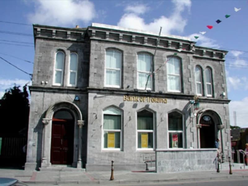
National Inventory of Architectural Heritage · NIAH survey · © Department of Housing, Local Government and Heritage. Reproduced for educational use with credit.
No photograph of this exists. The land from above, at its own coordinates.
No photograph of this exists. The land from above, at its own coordinates.
No photograph of this exists. The land from above, at its own coordinates.
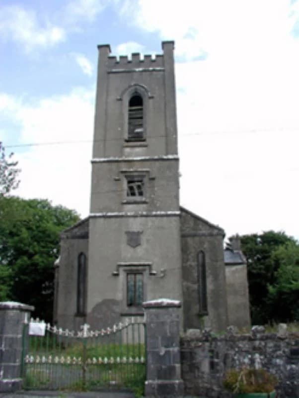
National Inventory of Architectural Heritage · NIAH survey · © Department of Housing, Local Government and Heritage. Reproduced for educational use with credit.
No photograph of this exists. The land from above, at its own coordinates.
No photograph of this exists. The land from above, at its own coordinates.
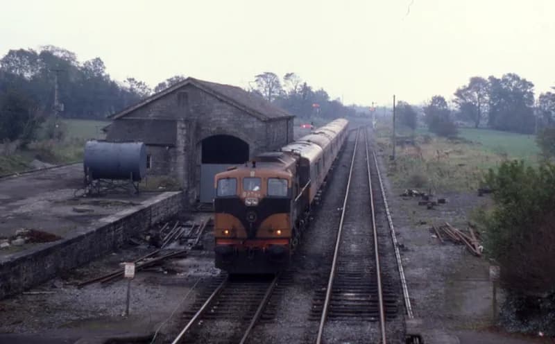
Phil Richards · 1985 · CC BY-SA 2.0
No photograph of this exists. The land from above, at its own coordinates.
No photograph of this exists. The land from above, at its own coordinates.
No photograph of this exists. The land from above, at its own coordinates.
No photograph of this exists. The land from above, at its own coordinates.
No photograph of this exists. The land from above, at its own coordinates.
No photograph of this exists. The land from above, at its own coordinates.
No photograph of this exists. The land from above, at its own coordinates.
No photograph of this exists. The land from above, at its own coordinates.
No photograph of this exists. The land from above, at its own coordinates.
No photograph of this exists. The land from above, at its own coordinates.
National Inventory of Architectural Heritage · NIAH survey · © Department of Housing, Local Government and Heritage. Reproduced for educational use with credit.
No photograph of this exists. The land from above, at its own coordinates.
No photograph of this exists. The land from above, at its own coordinates.
No photograph of this exists. The land from above, at its own coordinates.
No photograph of this exists. The land from above, at its own coordinates.
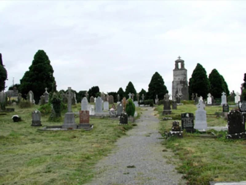
Saint Joseph's graveyard, Knock RoadThis church said its last mass in 1898 and has stood open ever since.1.3 km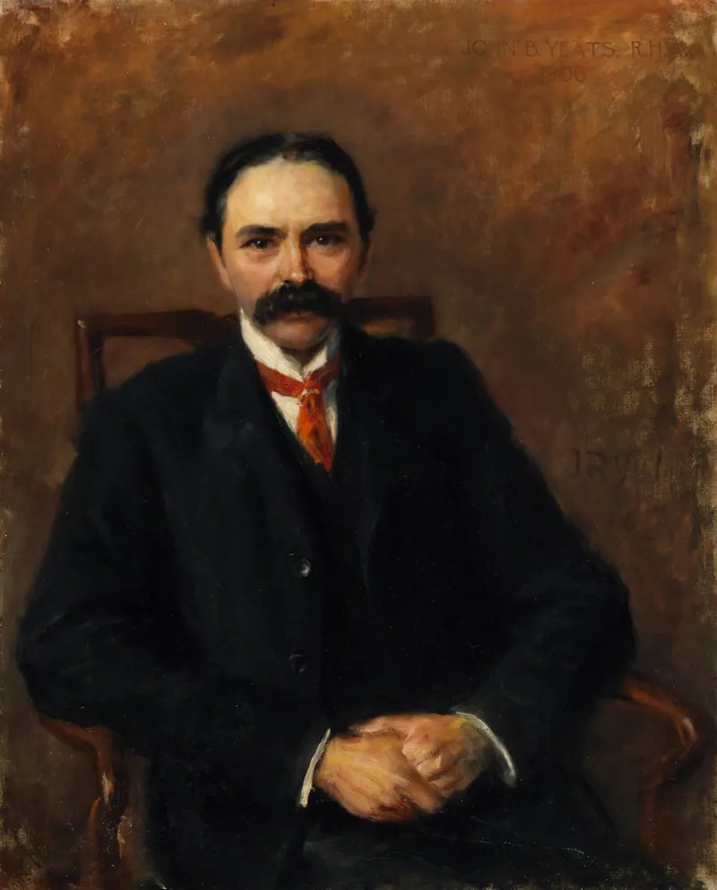 Longford HouseIreland's first President was born in this house.Castlerea Railway StationThe State's own record says a company built this 65 years too early.560 m
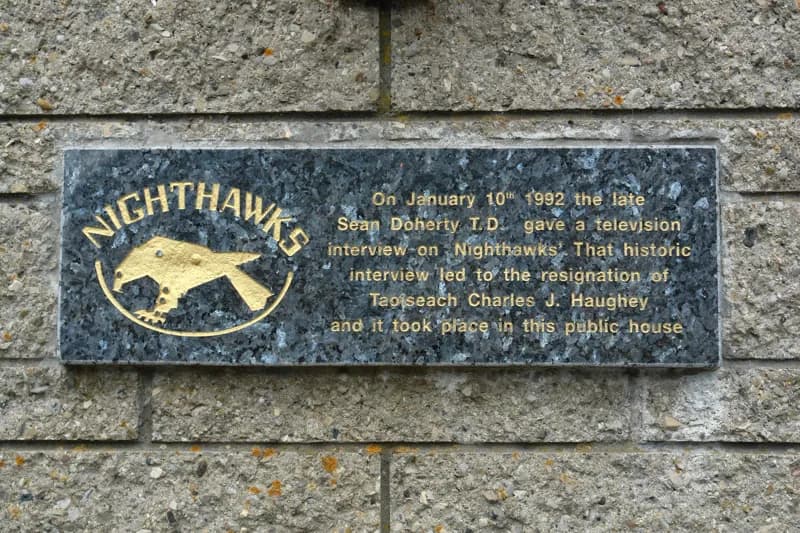 Hell's Kitchen Bar & Railway MuseumA Taoiseach resigned because of what was said in this room.Trinity Church (Kilkeevin)He was baptised in this church. It is empty now.340 m
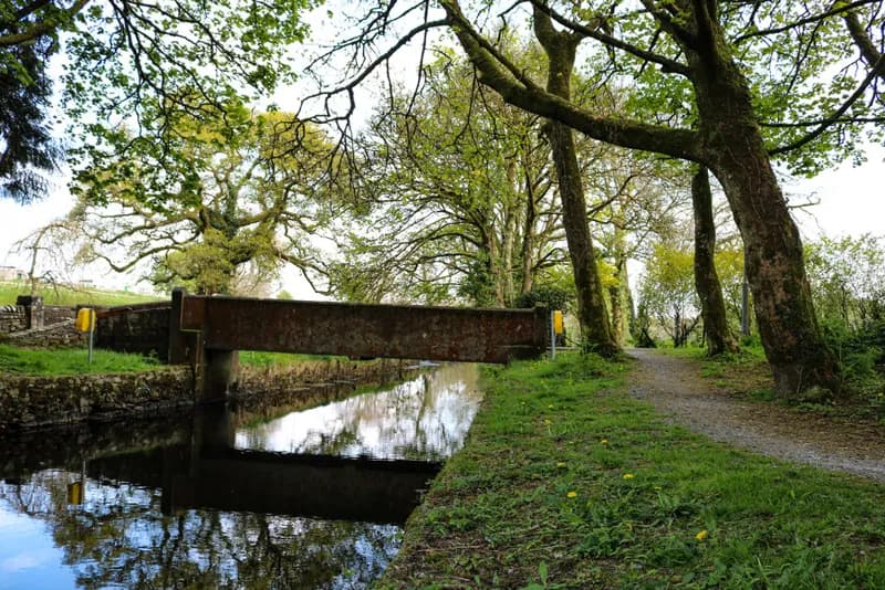 Church of Ireland graveyard, the DemesneOscar Wilde's grandfather is buried here.
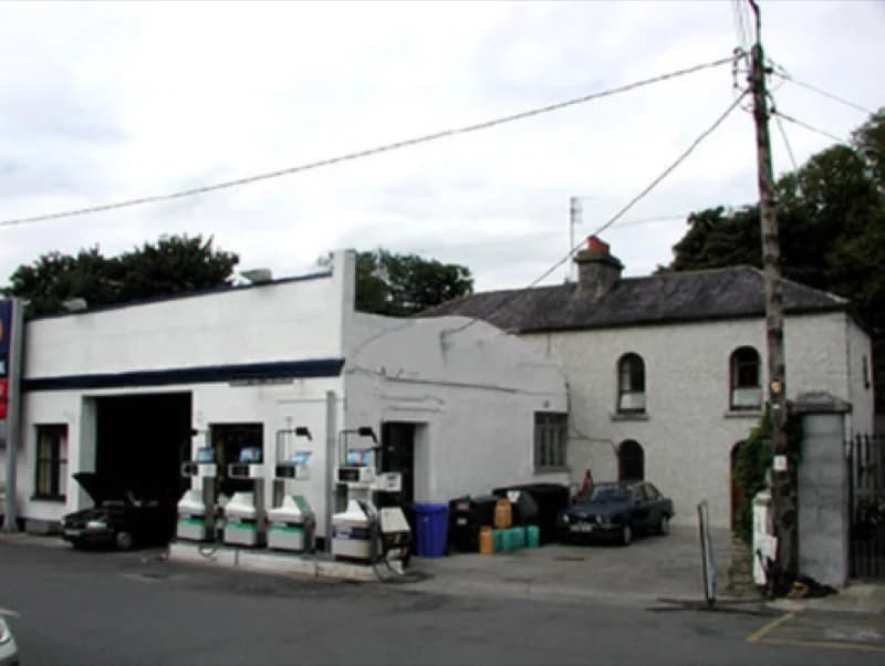 The Old BridewellSomebody's front room used to be a jail.
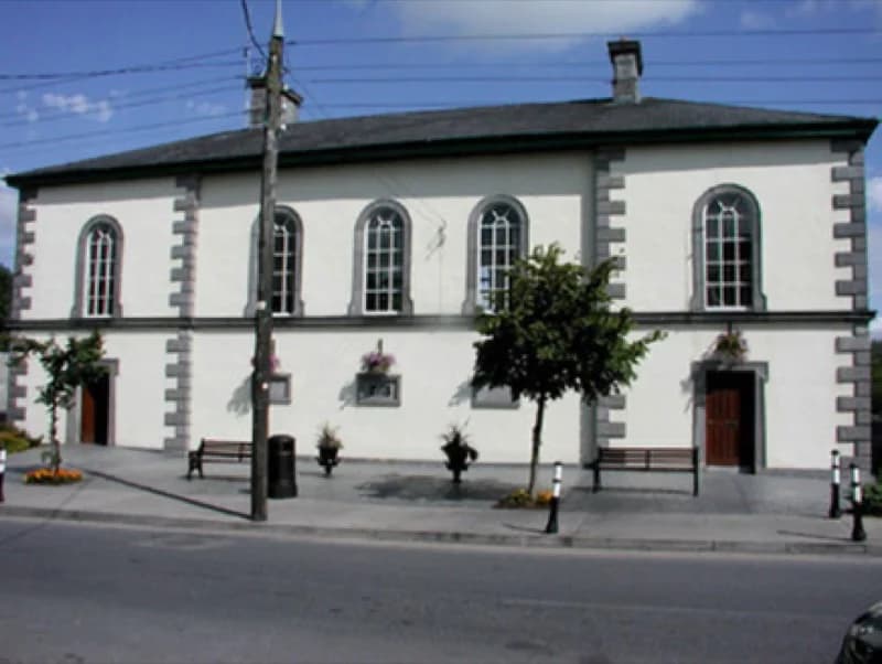 Castlerea CourthouseThe courtroom became an office. The council works in it now.
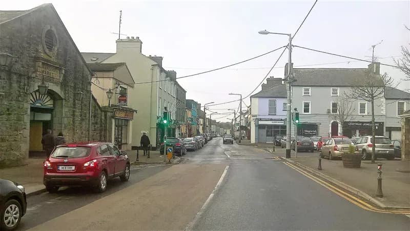 Castlerea MarketA shop that still stands like the market house it was.Bank of Ireland, Market SquareA country bank built in the style of Irish monasteries.100 mSaint Patrick's Catholic ChurchCold limestone outside. Warm and coloured inside.80 m
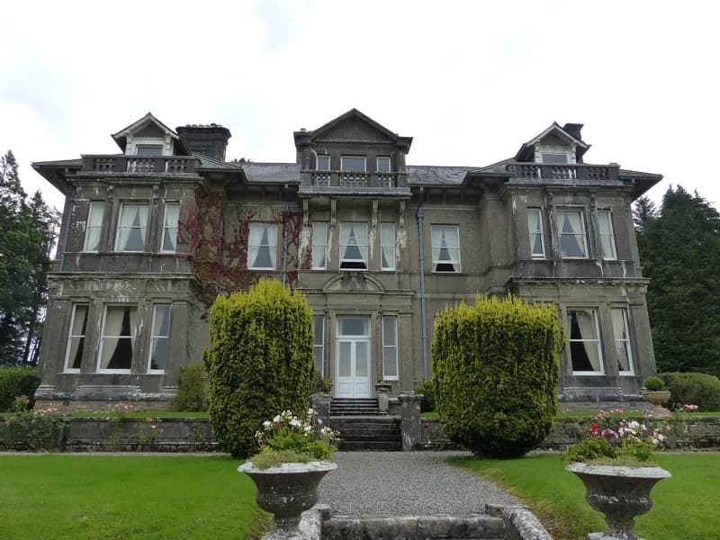 Clonalis HouseOne of Ireland's first concrete houses, built for its oldest family.2.4 km
The survey has been public for years. Nobody has ever turned it into something a person standing at a gate could read.
Open the recordEach entry carries the surveyor's own field description, its measurements, the name it held on the 19th-century Ordnance Survey sheets, and the reference behind it.