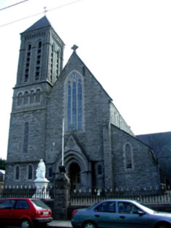
PlaceSaint Patrick's Catholic Church
80 m SSW
National Inventory of Architectural Heritage · NIAH survey · © Department of Housing, Local Government and Heritage. Reproduced for educational use with credit.
Diese Seite ist noch nicht auf Deutsch verfügbar. Sie wird auf Englisch angezeigt.
Auf Englisch lesen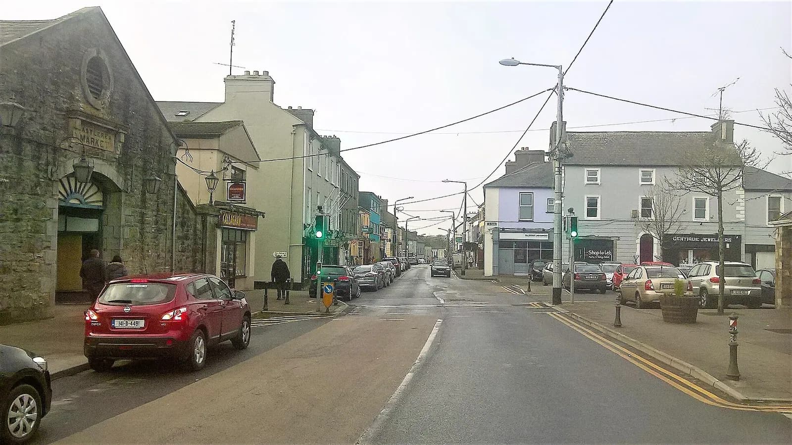
A shop that still stands like the market house it was.
Darren J. Prior · 2018 · CC BY-SA 4.0 · ark:/99999/c8mkt
each one sourced

mfjordan · CC BY-SA 2.0
Darren J. Prior · CC BY-SA 4.0
The same hill, thirty-five years apart. In 1983 the market was still working: the second photograph on this page was taken inside the sale ring the same summer.
The fairs in my town are always held in a place laid out for them called the “fairgreen.” The pig and cattle fairs are held on the third Monday and Friday, respectively, of the month. The horse fairs are usually held on Wednesday. It is not in the “fairgreen” they are held, but in the Market-place. When cattle are bought the buyer puts his initials on the animal's back with “raddle”. Any person going out from the fair with an animal and a raddle mark on it has to pay toll.

The record · ark:/99999/c8mkt
Drag to move · two fingers on a phone
National Inventory of Architectural Heritage · NIAH survey · © Department of Housing, Local Government and Heritage. Reproduced for educational use with credit.
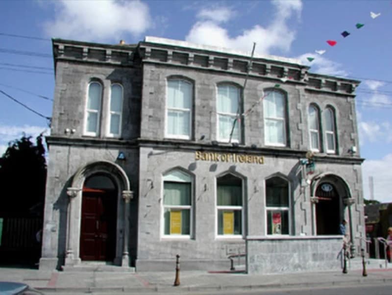
National Inventory of Architectural Heritage · NIAH survey · © Department of Housing, Local Government and Heritage. Reproduced for educational use with credit.
No photograph of this exists. The land from above, at its own coordinates.
No photograph of this exists. The land from above, at its own coordinates.
No photograph of this exists. The land from above, at its own coordinates.
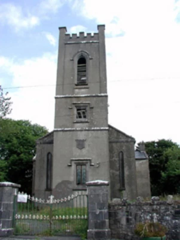
National Inventory of Architectural Heritage · NIAH survey · © Department of Housing, Local Government and Heritage. Reproduced for educational use with credit.
No photograph of this exists. The land from above, at its own coordinates.
No photograph of this exists. The land from above, at its own coordinates.
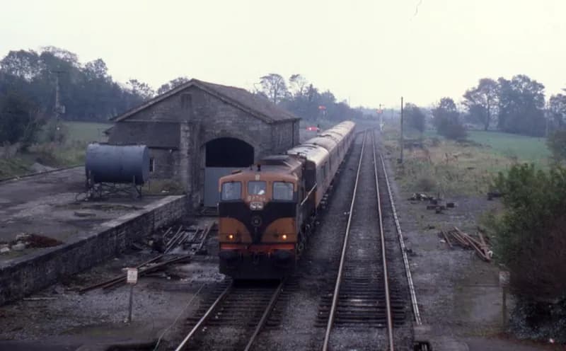
Phil Richards · 1985 · CC BY-SA 2.0
No photograph of this exists. The land from above, at its own coordinates.
No photograph of this exists. The land from above, at its own coordinates.
No photograph of this exists. The land from above, at its own coordinates.
No photograph of this exists. The land from above, at its own coordinates.
No photograph of this exists. The land from above, at its own coordinates.
No photograph of this exists. The land from above, at its own coordinates.
No photograph of this exists. The land from above, at its own coordinates.
No photograph of this exists. The land from above, at its own coordinates.
No photograph of this exists. The land from above, at its own coordinates.
No photograph of this exists. The land from above, at its own coordinates.
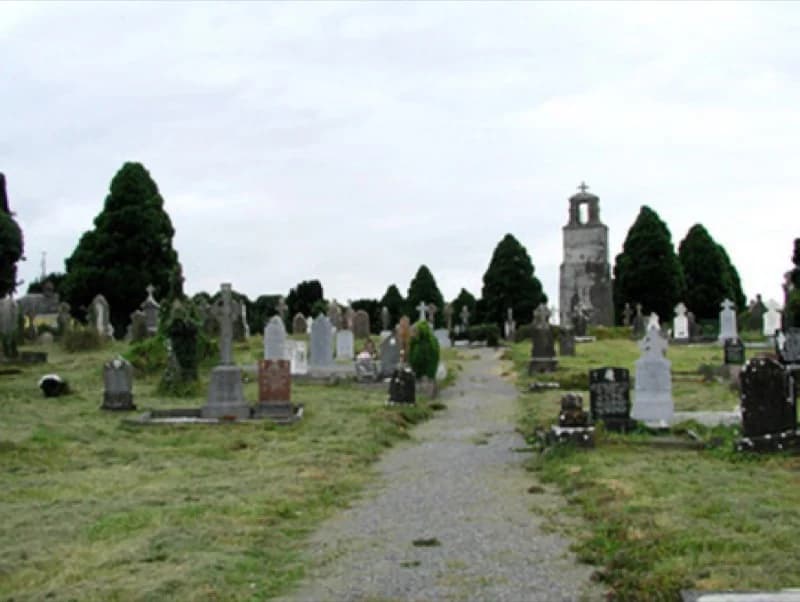
National Inventory of Architectural Heritage · NIAH survey · © Department of Housing, Local Government and Heritage. Reproduced for educational use with credit.
No photograph of this exists. The land from above, at its own coordinates.
No photograph of this exists. The land from above, at its own coordinates.
No photograph of this exists. The land from above, at its own coordinates.
No photograph of this exists. The land from above, at its own coordinates.
Part of a thread
Every thread